A brief discussion on some software tools used in computing earthworks in roads and dams projects.
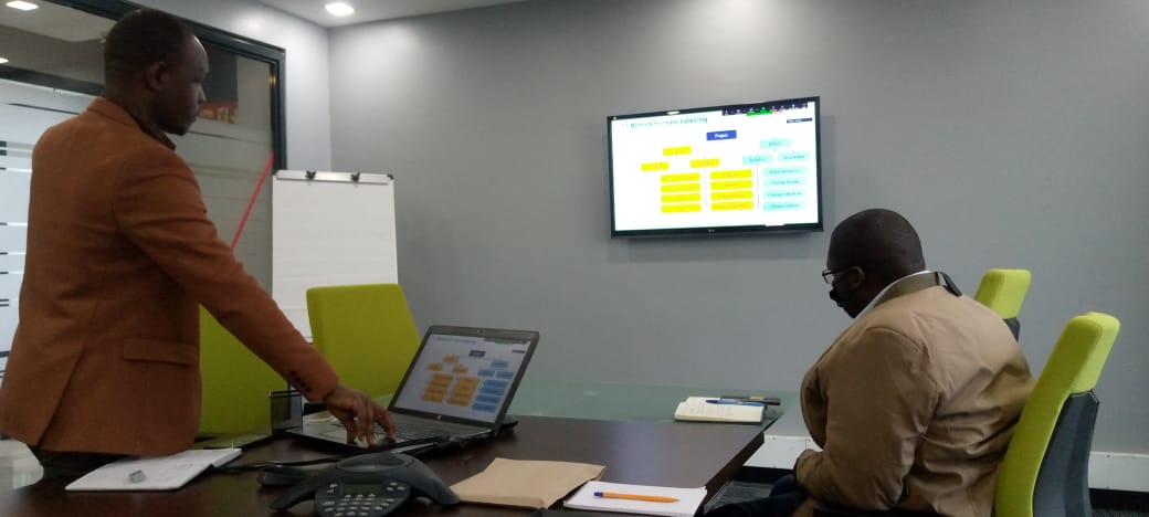
Hesbon Okari and Muthomi Munyua of the Department of Civil & Construction Engineering, University of Nairobi, attended a context-based Mass Haul Planning and Scheduling roundtable discussion held on 29th July 2021. The roundtable was organised by WorldsView Technologies, a multi-national firm that offers hardware and software solutions in Africa, in collaboration with Topcon, which specialises in Geographic Information Systems (GIS) and Building Information Modelling (BIM) development. Eng Peter Mailu of Runji Consulting Group was also in attendance. The discussions were moderated by Elijah Ochieng, an alumnus of the department.
A mass haul is the movement of excavated material from the source to where it is to be used or disposed. Mass hauling is usually employed in scenarios where a lot of earthworks is performed. Mostly in roads and dams projects. In Kenya, the contractor is generally in charge of material haulage with limited input from the project designers. Mass haulage planning and scheduling are left out of current contracts as it makes contracts expensive. The use of specialised software could assist contractors in conducting mass haulage. However, the use of any software is problematic because the capacity of borrow pits and waste pts is usually unknown. Factors that affect mass haulage are based on: location, resources and schedule deviation. Mass haul planning and scheduling involve three critical steps: plan, schedule and control.
Mass hauls are best represented using mass haul diagrams at various chainages (or station ranges). The use of software enables developing a Virtual Construction Model (VCM) based on a designed road alignment where volume computation can be performed. Location-based mass hauls and schedules could then be undertaken. Location-based mass haul and scheduling necessitates the need for mass haul analysis which involves predictive quantitative volume measurements. Elijah demonstrated the use of a tool called Topcon MAGNET project. Topcon MAGNET project uses a dynamic model component whereby the plan, profile, corridor and volumes in mass haul diagrams are interlinked. Topcon MAGNET project reduces risks by automating mass haul optimisation and activities scheduling using a complete 3D design. The software is used to generate a context-based quantification, mass haul plan and mass haul diagrams. It can import quantities and map other tasks. Topcon MAGNET can rely on PDFs only. PDFs must have some georeferencing objects. Georeferencing is the process where a 3D model is aligned with a PDF using coordinates and chainages. Once the 3D model has been developed, and cuts are so much, the engineer may introduce a waste pit nearby and assign the capacities. If the fills are so much, the engineer may introduce a borrow pit nearby and allocate the capacity. Elijah then concluded the presentation by linking up the Gantt Chart prepared earlier with the Mass Haul Diagrams and put up the activity dependency sets on Microsoft Project to determine the project duration.
It was evident that these new tools were a game-changer in the field of civil engineering. It would be prudent for students to start learning how to work with this software early.
- Log in to post comments